


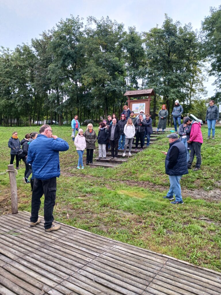
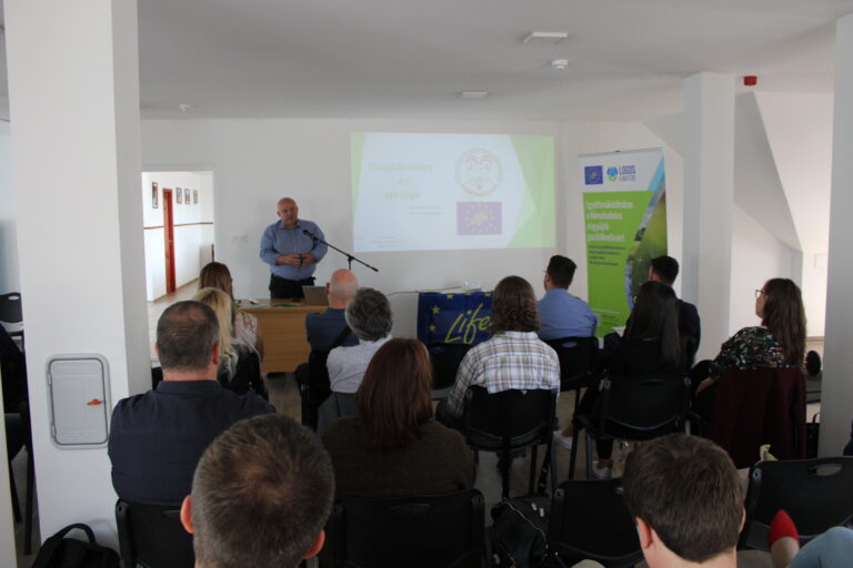
The 3rd International Summer School was completed
Within the framework of the LIFE LOGOS 4 WATERS project, the third International Summer School was organized by the Faculty of Water Sciences of the Ludovika…
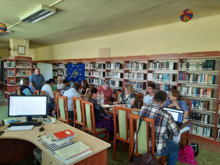
The second edition of the Víztükör (Water Mirror) accredited teacher training in the lowland project site was completed
On the first weekend of October (4-6 October 2024), the second edition of the LIFE LOGOS 4 WATERS teacher training took place. The main objective of…
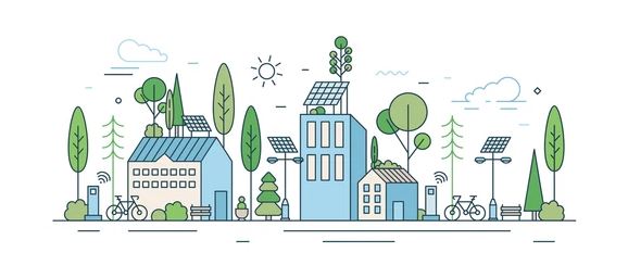
The Integrated Municipal Decision Support Platform has been launched on the project’s website
The online platform was created in the framework of the LIFE LOGOS 4 WATERS project, which has the overall objective of supporting Hungarian municipalities to develop…
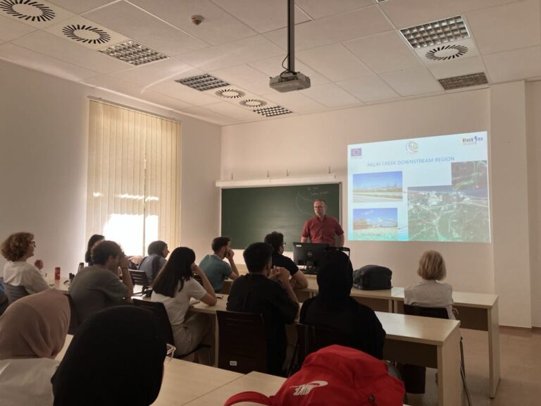
Visiting Poland in the framework of the project- A networking trip for the instructors of the University of Public Service
Within the framework of the LIFE LOGOS 4 WATERS project, the instructors of the Faculty of Water Sciences of the University of Public Service participated in…

Summer school 2024
Between 13-18 October 2024, the Faculty of Water Sciences is organizing a 6-day Summer School in frame of the LIFE LOGOS 4 WATERS project. The need…
World Water Day!
Every year, World Water Day is a great opportunity to raise awareness of the importance of fresh water and the sustainable management of water resources. This…
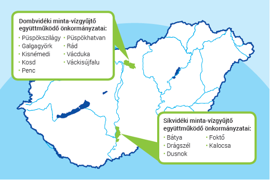
The application phase of the Catchment Support Programme has been successfully completed, now the expert work can begin!
With great interest, the application phase of the Catchment Support Programme, launched in April 2023 within the framework of the so-called “In cooperation for climate-conscious river…
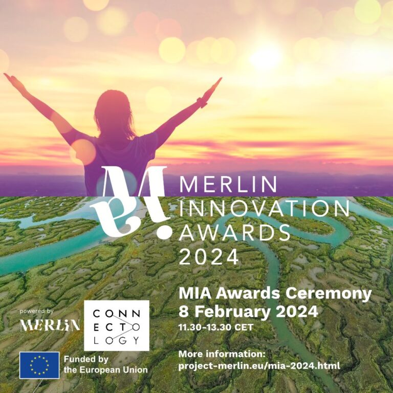
Application - MERLIN Innovation Awards (MIA)
A call for an innovation award was announced in the international project of WWF Hungary Foundation called MERLIN, which is help to recognize products and services…
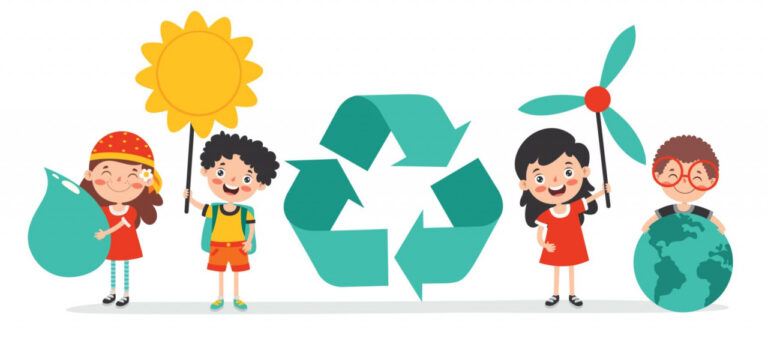
The LIFE LOGOS 4 WATERS environmental education package has reached important milestones
One of the project’s key objectives is to raise public awareness on the value of water, the importance of nature-based water retention solutions and its role…
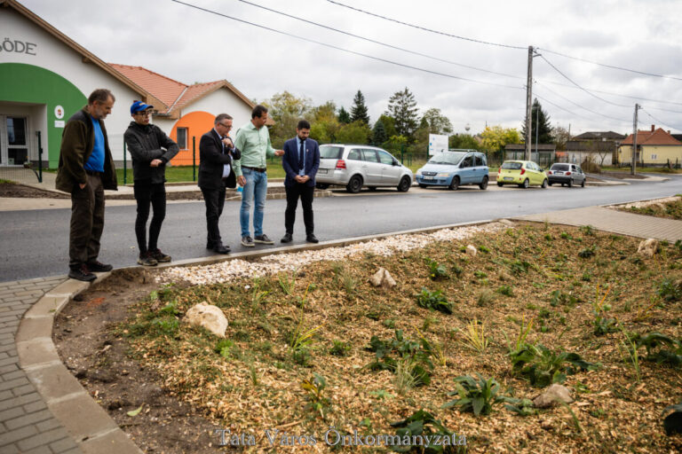
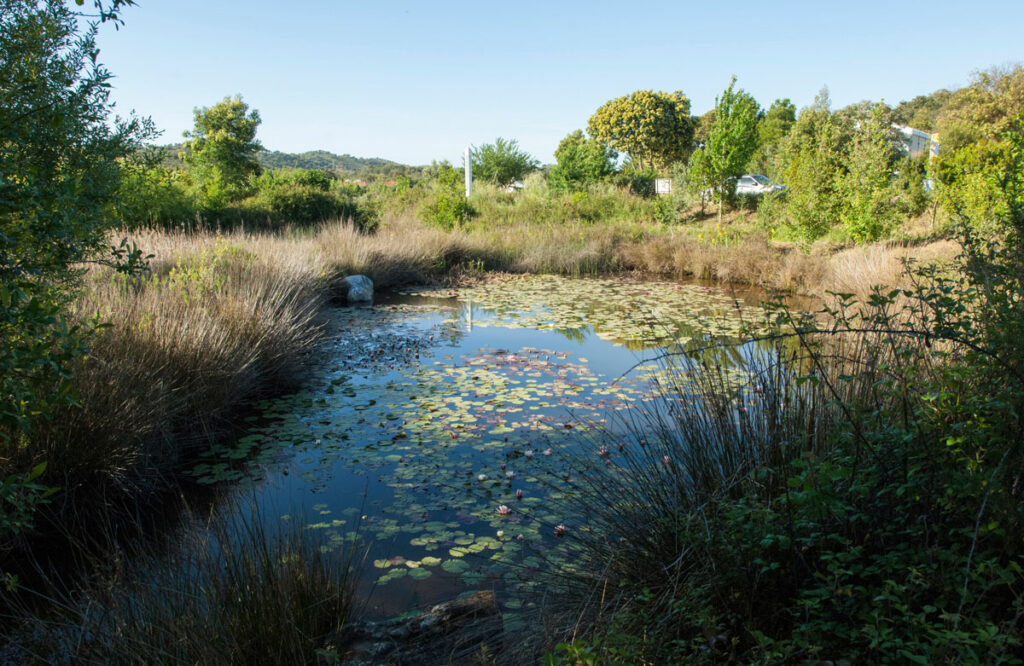
Rain gardens are being created in Tata within the Municipal Support Programme
On 27th October, the Municipality of Tata organized an event demonstrating innovative water management methods at the nursery located in Nádas Street in Újhegy, which is…
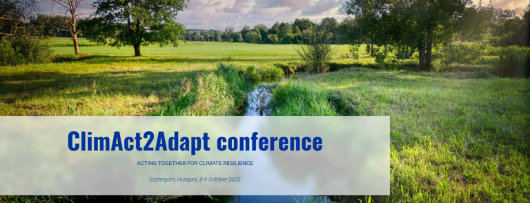
Join us at ClimAct2Adapt International Conference!
Date:
8-9 October 2025
Location:
Szent Adalbert Conference Center in Esztergom, Hungary
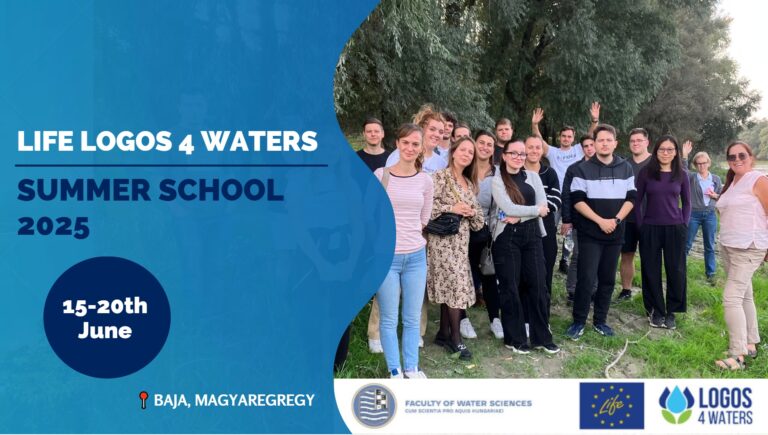
LIFE LOGOS 4 WATERS Summer School 2025
Date:
2025. június 15-20.
Location:
H-6500 Baja, Bajcsy-Zs. u. 12-14
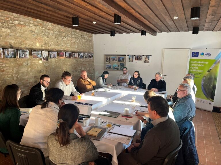
7th Multi-stakeholder Catchemnt Forum at the Sárközi-I. catchment
Date:
29rd February 2024 (Thursday) 10 AM
Location:
Village Hall, (6351 Bátya, Rákóczi Road 2.)
6th Multi-stakeholder Catchemnt Forum at the Sárközi-I. catchment
Date:
13rd December 2023 (Wednesday) 10 AM
Location:
Village Hall, (6351 Bátya, Rákóczi Road 2.)
6th Multi-stakeholder Catchment Forum on the Szilágyi and Gombás streams' catchment area
Date:
5th December 2023 (Tuesday) 5:00 PM
Location:
Village Hall (2166 Püspökszilágy, Kossuth Road 9.)
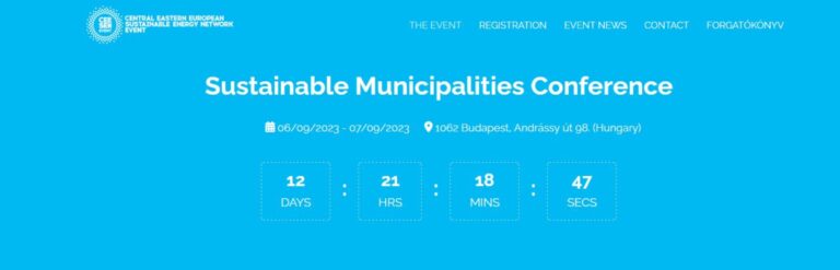
Central Eastern European Sustainable Energy Network - Sustainable Municipalities Conference
Date:
06/09/2023. - 07/09/2023. (Thursday-Friday)
Location:
Magnet House / Online, 98. Andrássy Street 1062 Budapest
5th Multi-stakeholder Catchemnt Forum at the Sárközi-I. catchment
Date:
13rd December 2022 (Tuesday) 10 AM
Location:
Village Hall, (6351 Bátya, Rákóczi Road 2.)
5th Multi-stakeholder Catchment Forum on the Szilágyi and Gombás streams' catchment area
Date:
14th December 2022 (Wednesday) 4:30 PM
Location:
Village Hall (2166 Püspökszilágy, Kossuth Road 9.)

Two-day workshop for establishment of learning materials
Date:
22-23. November 2022
Location:
Ráckeve, Duna Relax Hotel
4th Multi-stakeholder Catchemnt Forum at the Sárközi-I. catchment
Date:
8th November 2022 (Tuesday) 10 AM
Location:
Village Hall, (6351 Bátya, Rákóczi Road 2.)